Eyes in the Sky: How Satellites Are Combating Climate Change from Space
- Dhaani Jeevanani
- Aug 10, 2025
- 2 min read

Imagine being able to monitor the health of our planet in real time—tracking deforestation, melting ice caps, rising sea levels, and even coral bleaching from space. This isn’t science fiction; thanks to satellite technology, it’s happening right now. From tracking global warming, plastic pollution, and oil spills, all of this is being observed from space.
Deforestation: Forest Watchdogs from Above

Forests are disappearing fast—but satellites are on the case. By constantly monitoring forest cover, they help detect where trees are being lost and even predict which areas are at risk next. With this real-time data, scientists and policymakers can respond quickly and take action to stop illegal logging and forest destruction before it’s too late.
Melting Ice Sheets: Tracking the Cryosphere
Satellites help us measure ice sheet volume change, mass, and sea level rise contribution, contributing overall to helping scientists and researchers track the cryosphere. Studying the cryosphere is important to understanding the Earth’s climate change for several reasons:
Provides climate history: Ice cores from glaciers and ice sheets contain annual records of temperature, precipitation, atmospheric composition, and other climate data, going back hundreds of thousands of years
Monitors Climate Change: The cryosphere is particularly sensitive to climate shifts, making it an early indicator of global warming
Helps Predict Future Climate Scenarios: Changes in the cryosphere, such as glacial meltwater lakes forming on glaciers, can lead to natural hazards like flooding, landslides, and debris flow

Coral Bleaching: Reefs in Trouble

Coral reefs are beautiful, biodiverse, and unfortunately, in danger. Satellites can detect ocean temperature changes and spot bleaching events, helping scientists zero in on the most threatened areas. With this information, marine biologists can act fast to protect coral reefs before the damage becomes irreversible.
Ocean Pollution: Following the Plastic Trail
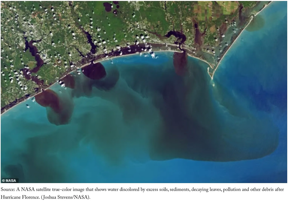
Satellites can identify plastic debris in the ocean, distinguish it from other materials, and track its movement and even its origin with high accuracy. When combined with other technologies, this becomes a powerful tool for monitoring global marine pollution, supporting cleanup efforts, and informing better regulations to protect ocean health.
Desertification: Saving Drylands from Turning to Dust

Satellite data provides early information on areas at risk of dryland desertification and vegetation stress caused by environmental conditions. This allows for timely interventions, making it possible to prevent further degradation and even reverse the process to a large extent through targeted remediation efforts.
Conclusion:
From spotting endangered forests to finding plastic in the ocean, satellites are quietly revolutionizing the way we fight climate change. These orbiting observers give us the data we need to take action–-fast, smart, and on a global scale. So next time you look up at the sky, remember: help really is on the way.
References:
Earth.Org. “How Satellites Help Tackle Climate Change.” Earth.Org, 20 Nov. 2020, https://earth.org/data_visualization/how-satellites-help-tackle-climate-change/
NASA’s Earth Science News Team. “Earth’s Cryosphere Is Vital for Everyone. Here’s How NASA Keeps Track of Its Changes.” Climate Change: Vital Signs of the Planet, NASA, 2021 (published roughly 4.3 years ago), https://climate.nasa.gov/news/3079/earths-cryosphere-is-vital-for-everyone-heres-how-nasa-keeps-track-of-its-changes/
Next time… Smog in major cities: Causes, effects, and emerging solutions


